
Explore Montana Towns
Fifteen towns, from lake country to the high plains. Pick one to see quick facts, daily life, weather and housing costs, or things to do and how to get there, each with its sources.
Last updated: October 2026
Montana is big, and its towns are very different from one another. A ski town by Glacier, a capital city born in a gold rush and a prairie city on the Missouri all add up to very different lives. These guides give you an honest first look at each one. Every number links to the public source we took it from. Havre, Big Sky and West Yellowstone are visitor guides, with things to do and how to get there. Planning a road trip instead? See the Montana Dinosaur Trail.
Find a town on the map
Select a dot to open that town’s guide.
Map outline: U.S. Census Bureau cartographic boundary file (public domain). Town locations: USGS GNIS.
Southwest
Bozeman, Big Sky, West Yellowstone, Butte and Livingston: Yellowstone country, ski hills and mining history.
Butte
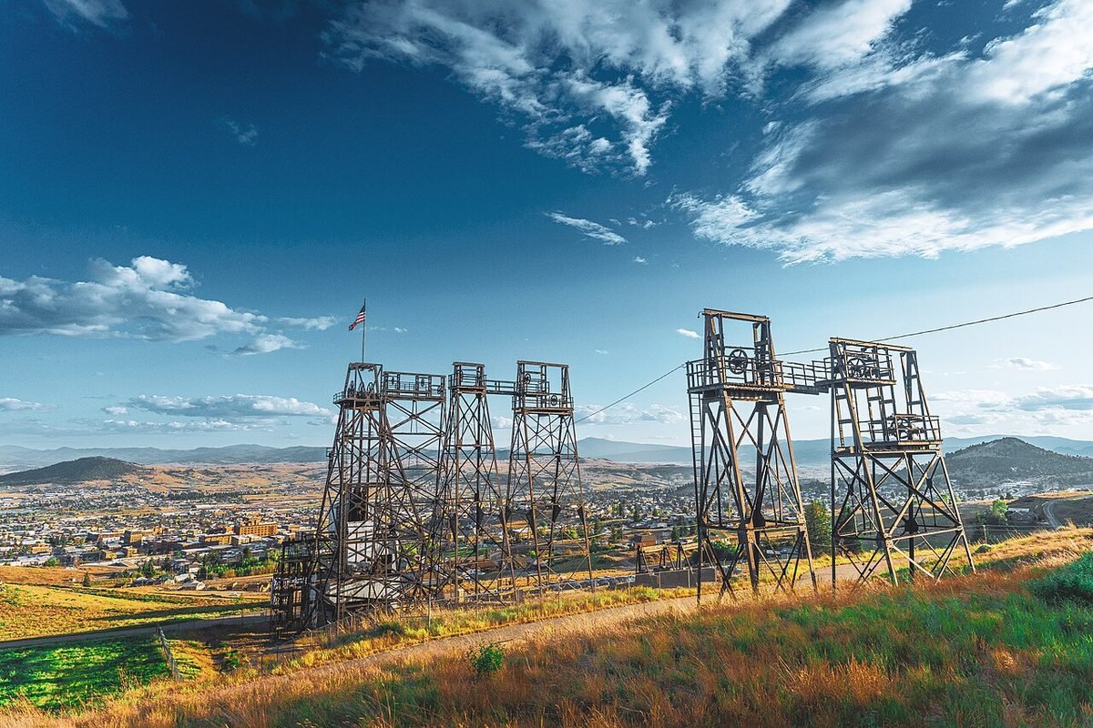
Copper-mining history, a Victorian Uptown and Montana’s biggest St. Patrick’s Day.
Livingston
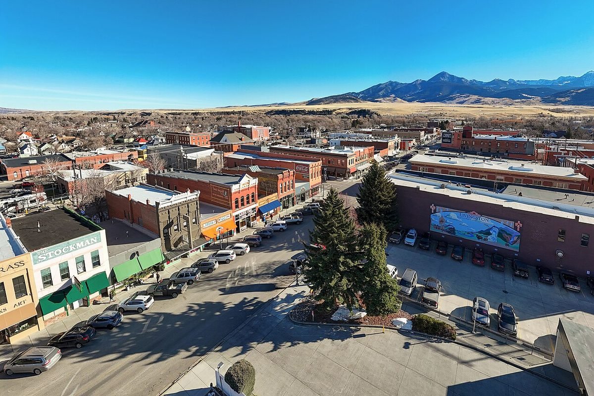
Yellowstone’s original gateway town, on the river at the top of Paradise Valley.
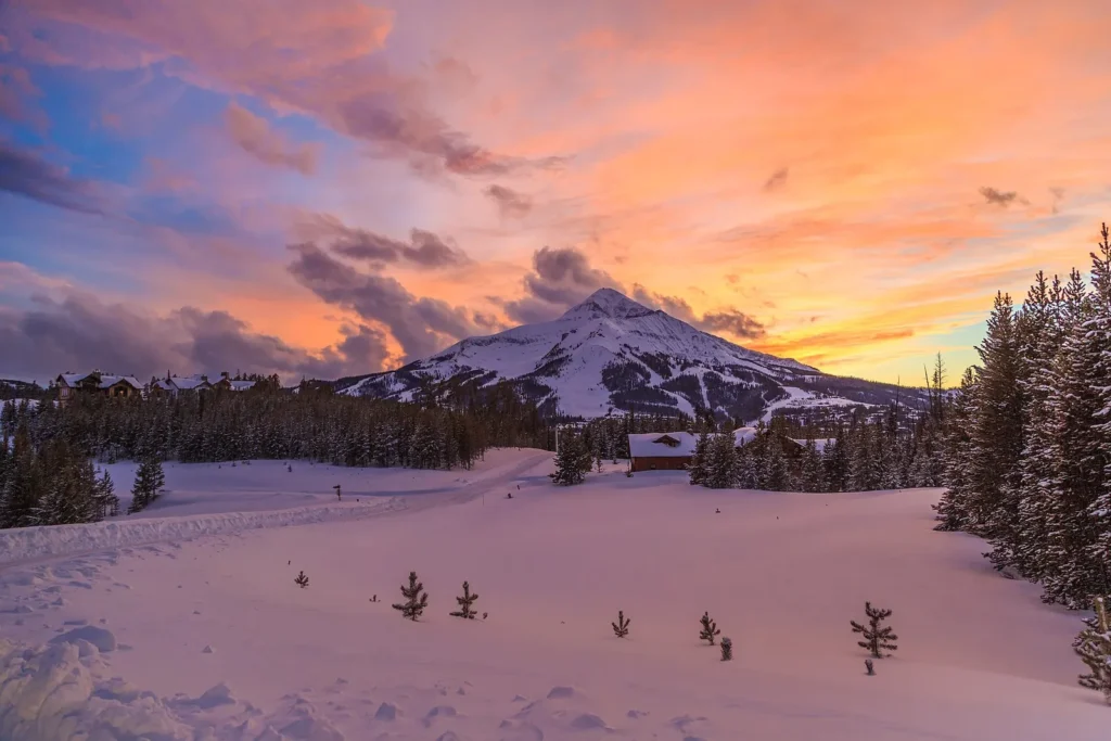
Big Sky
Ski town on US 191 with Big Sky Resort, summer mountain biking and a 4% resort tax.

West Yellowstone
Montana town at Yellowstone’s West Entrance and a starting point for winter snowmobile and snowcoach trips.
Northwest and Flathead
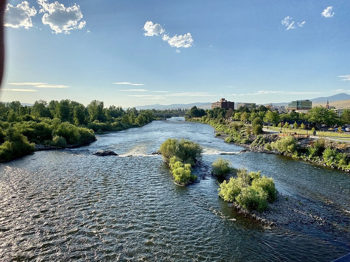
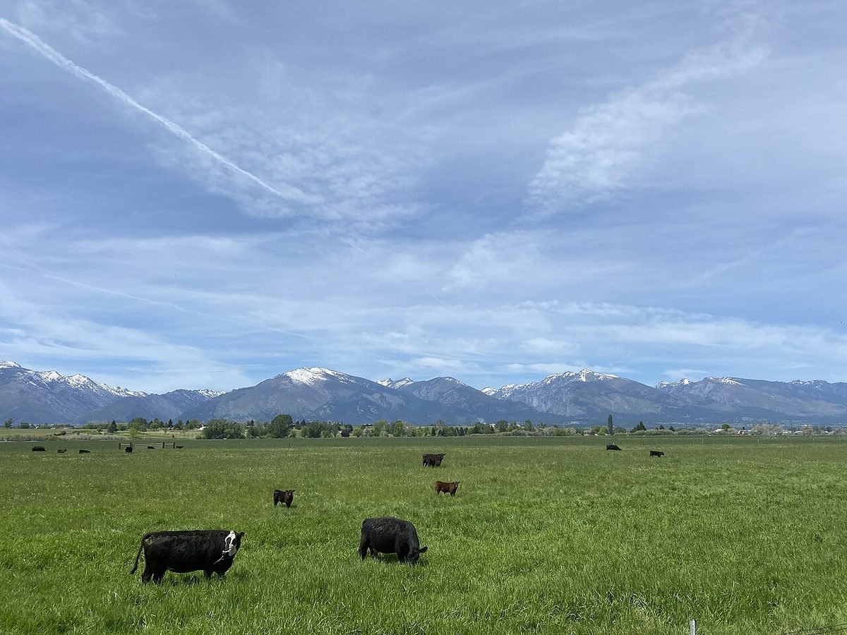
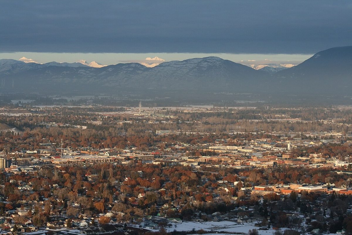
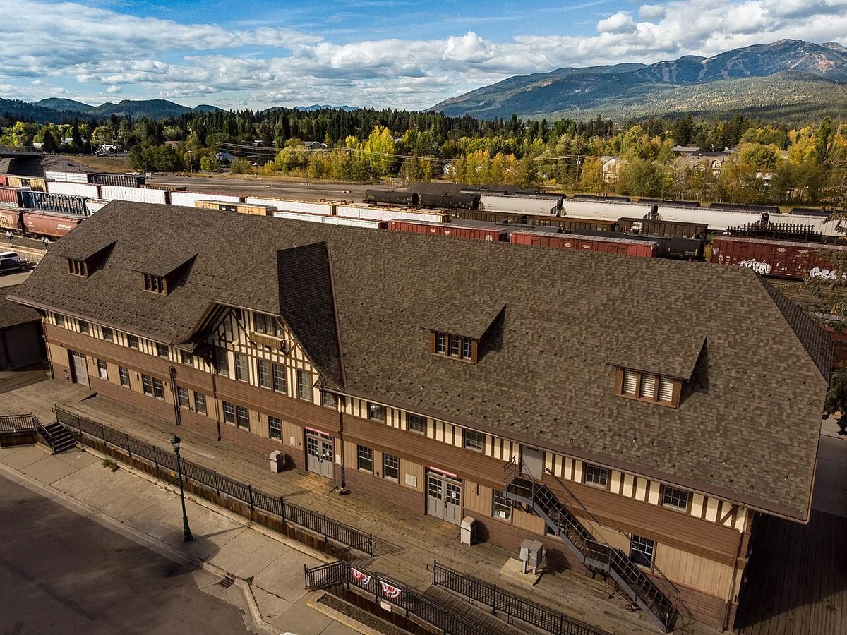
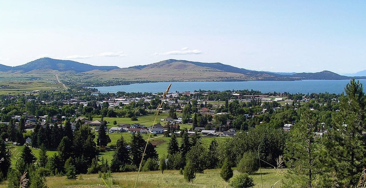
Missoula, the Bitterroot and the Flathead Valley, from river towns to Glacier’s doorstep.
Central and North
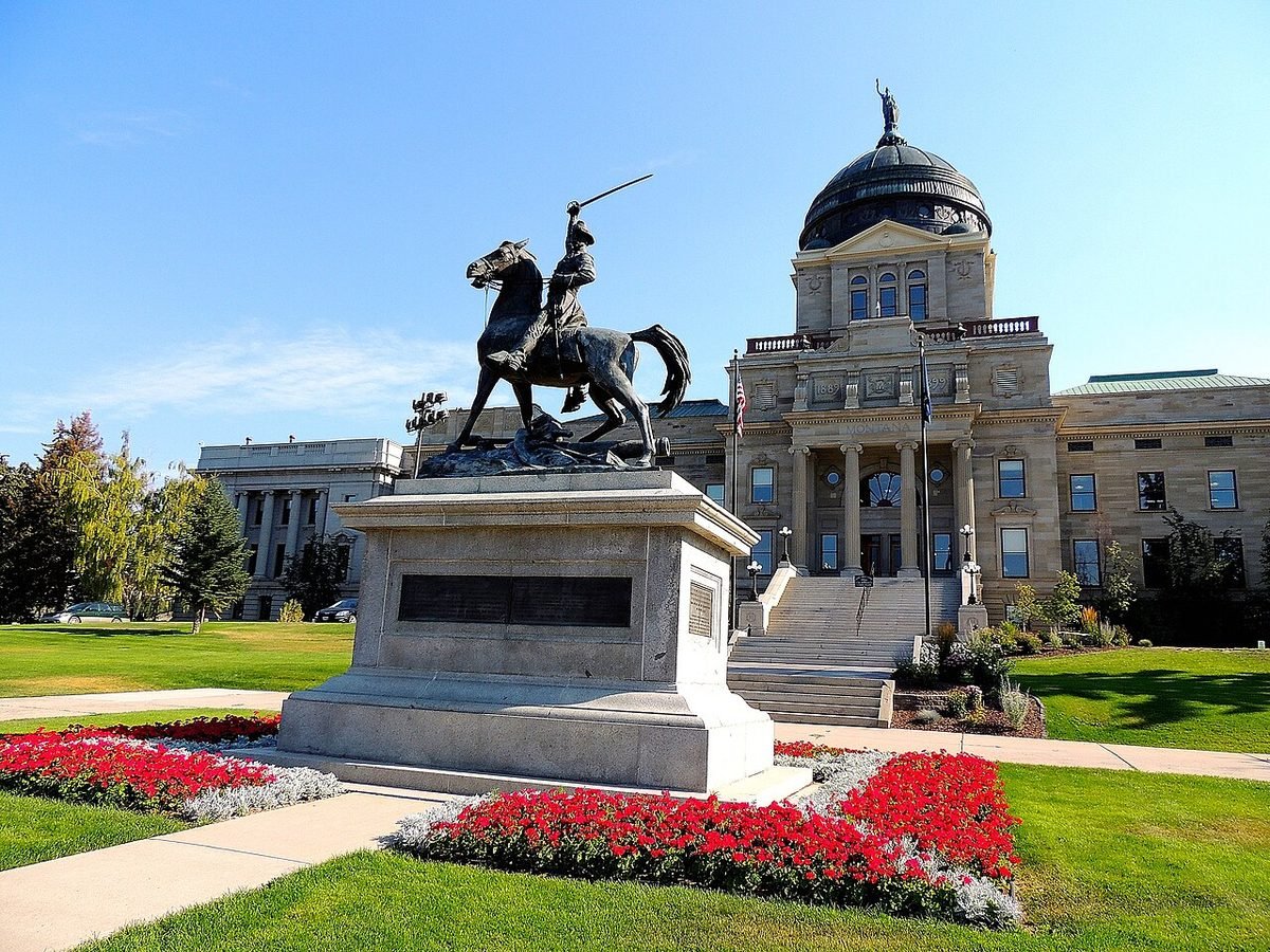
The capital, the Missouri River, the Hi-Line and the edge of the plains.
Great Falls
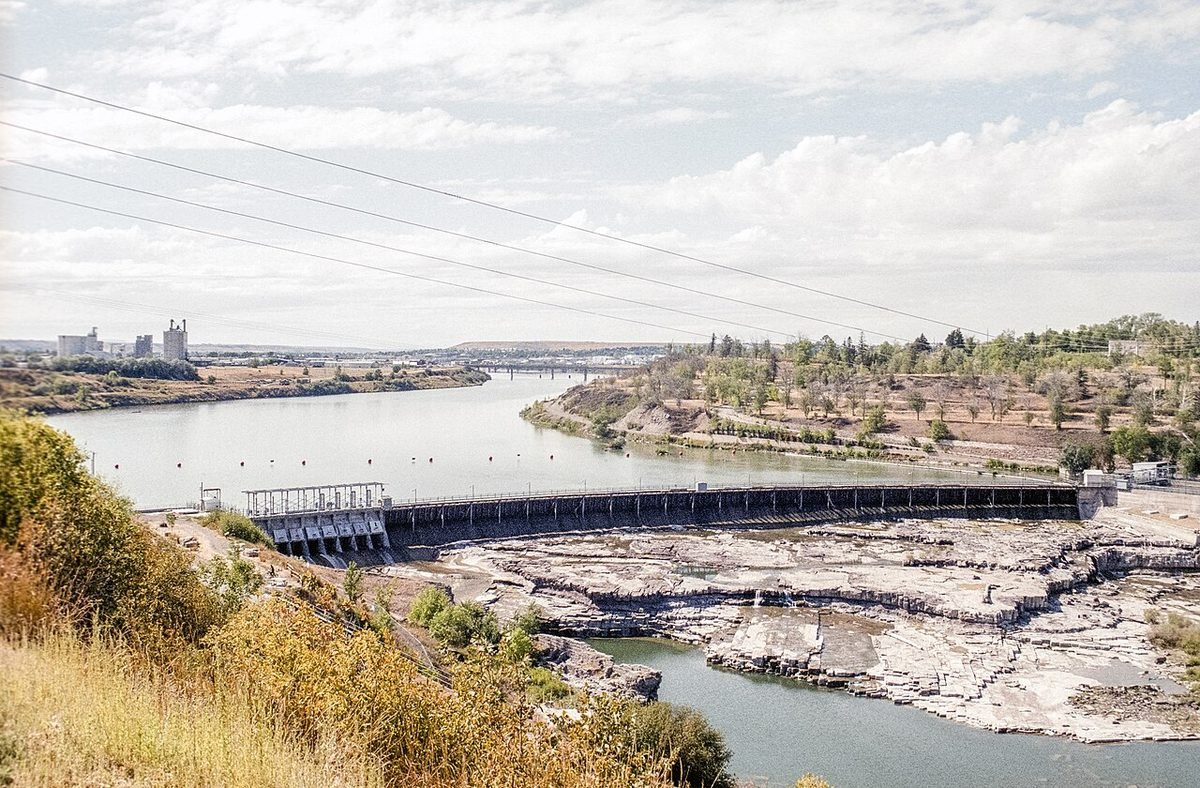
Missouri River waterfalls, Lewis and Clark history and nearly 60 miles of trail.
Havre
Hi-Line city with an underground tour, Beaver Creek Park in the Bears Paw Mountains and a dinosaur museum.
South Central and Eastern
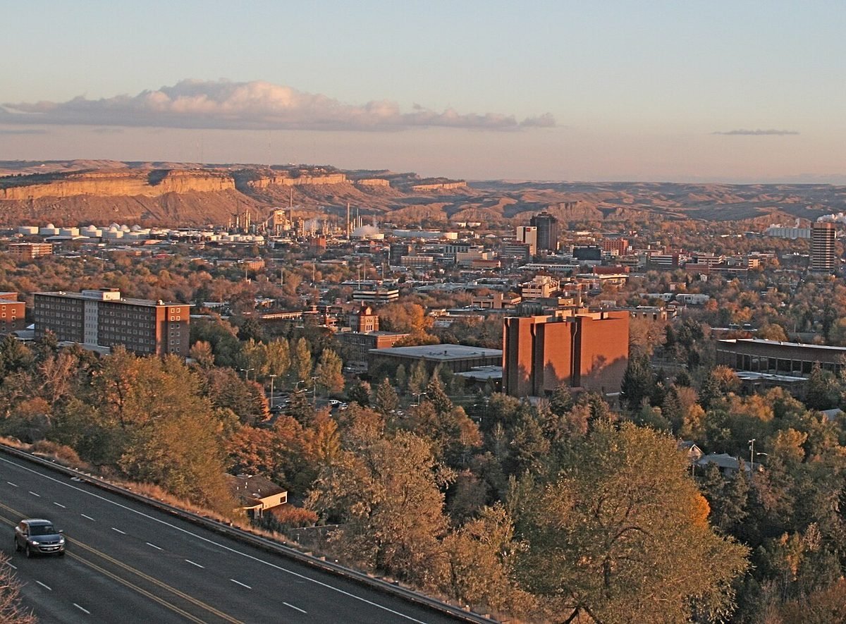
Montana’s biggest city and the road up to the Beartooths.
Road trip: the Montana Dinosaur Trail
The trail links 15 museums and sites in 13 Montana communities, from Bynum to Ekalaka, and Havre’s H. Earl Clack Memorial Museum is one of the stops.
Still deciding where to start?
Our Moving to Montana in 2027 guide compares the biggest towns side by side, using Census, Zillow and HUD data.
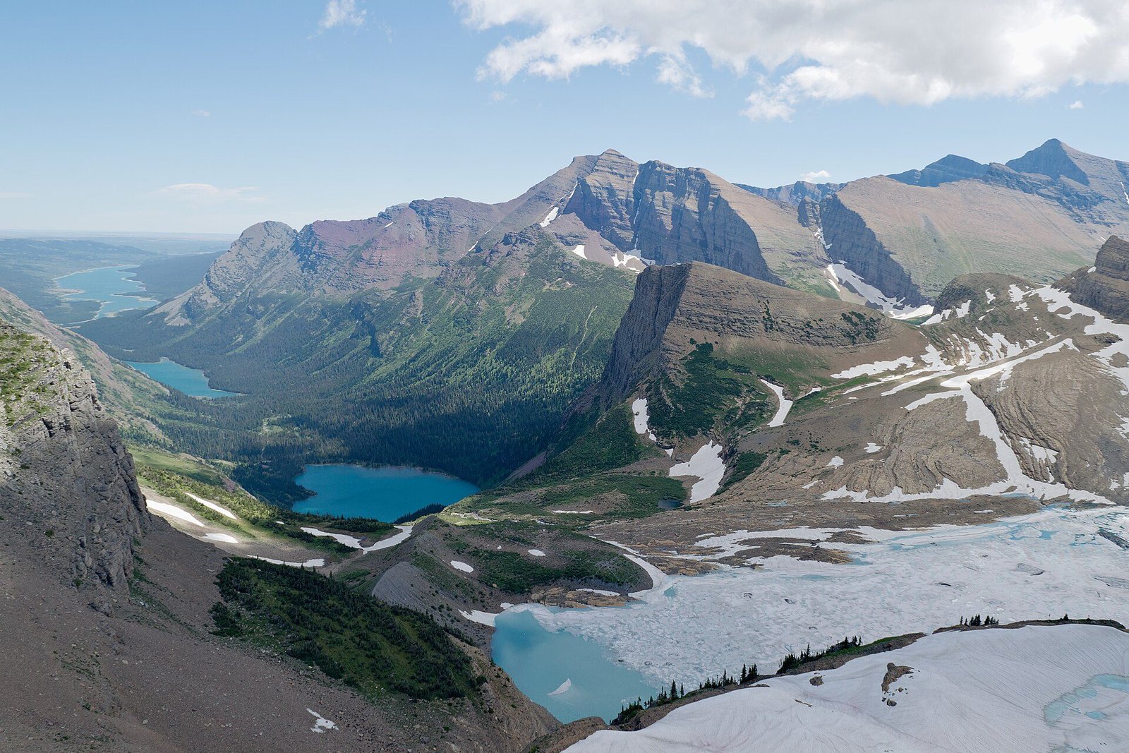
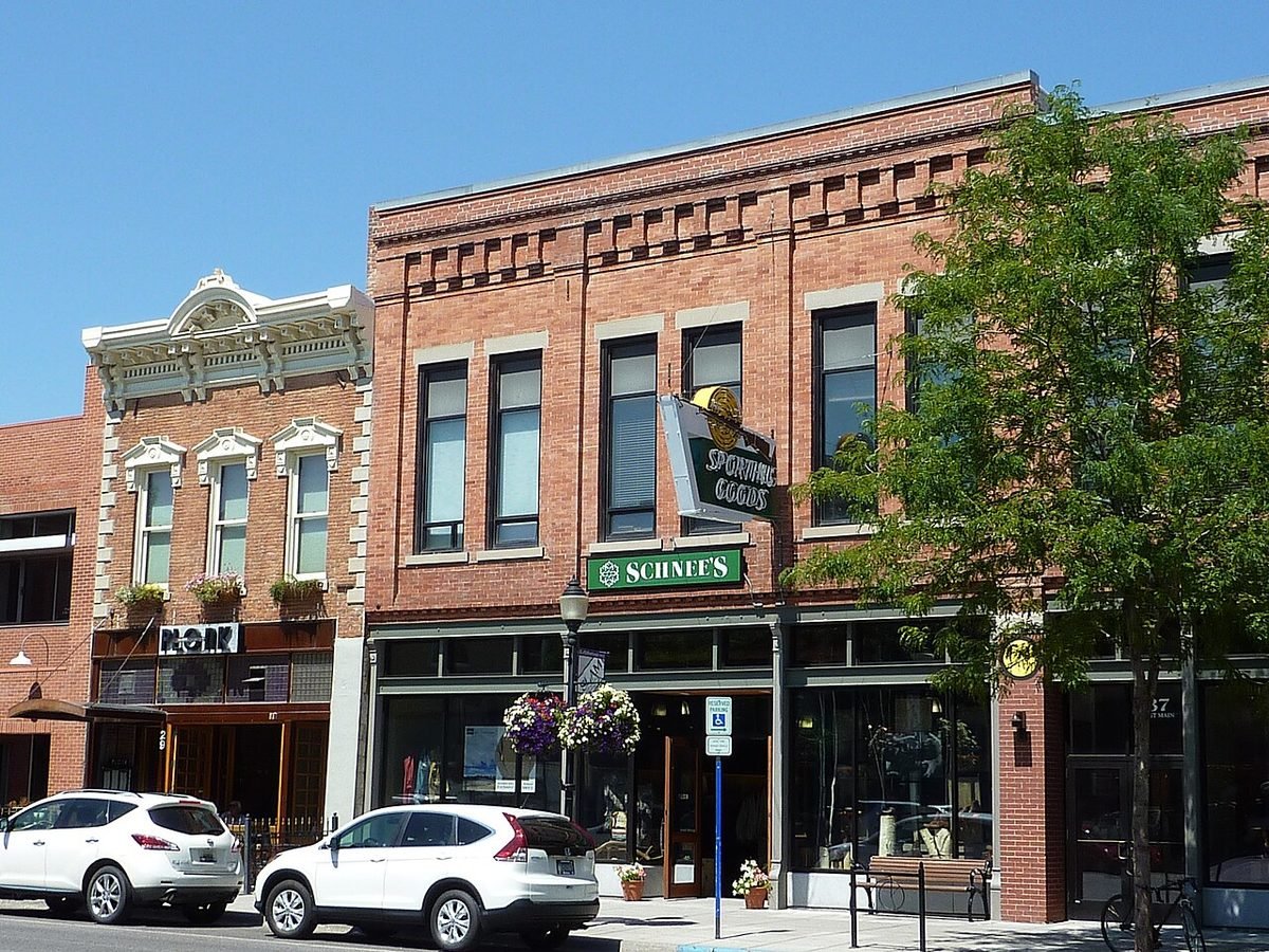
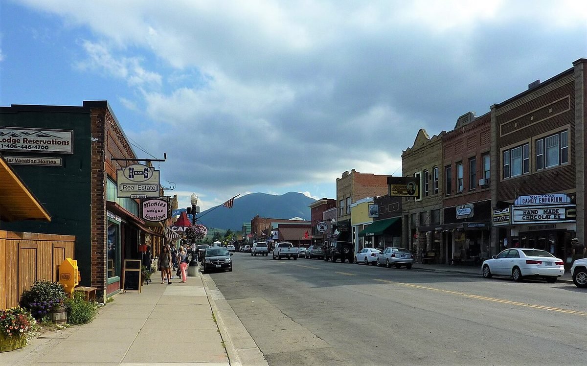
Photos: Grinnell Glacier Overlook, Glacier National Park: photo by Trougnouf (Benoit Brummer), CC BY 4.0, via Wikimedia Commons, resized; Main Street, Bozeman: photo by Chris06, CC BY-SA 3.0, via Wikimedia Commons, resized; Mine headframes above Butte: photo by Nils Huenerfuerst, CC BY 4.0, via Wikimedia Commons, resized; Downtown Livingston from above: photo by Quintin Soloviev, CC BY 4.0, via Wikimedia Commons, resized; Clark Fork River, Missoula: photo by w_lemay, CC BY-SA 2.0, via Wikimedia Commons, resized; Rangeland and the Bitterroot Mountains near Hamilton: photo by Anthromesimages, CC BY-SA 4.0, via Wikimedia Commons, resized; Kalispell looking toward Glacier: photo by User: Dan Petesch, CC BY-SA 3.0, via Wikimedia Commons, resized; Whitefish railroad depot: photo by Andy Merrill, CC BY-SA 4.0, via Wikimedia Commons, resized; Polson and Flathead Lake: photo by Montanabw, CC BY-SA 3.0, via Wikimedia Commons, resized; Montana State Capitol, Helena: photo by Tracey Elizabeth, CC BY 2.0, via Wikimedia Commons, resized; Black Eagle Falls on the Missouri River, Great Falls: photo by Acroterion, CC BY-SA 4.0, via Wikimedia Commons, resized; Billings and the Rimrocks: photo by Sara goth, CC BY-SA 3.0, via Wikimedia Commons, resized; Downtown Red Lodge: photo by Chris06, CC BY-SA 4.0, via Wikimedia Commons, resized; Lone Mountain at sunset, Big Sky: photo by Eric Moreno, CC BY 2.0, via Wikimedia Commons, resized and converted to WebP; Summer traffic at the West Entrance, West Yellowstone (July 2015): photo by NPS/Jim Peaco, National Park Service, public domain, resized and converted to WebP. All photo credits.


